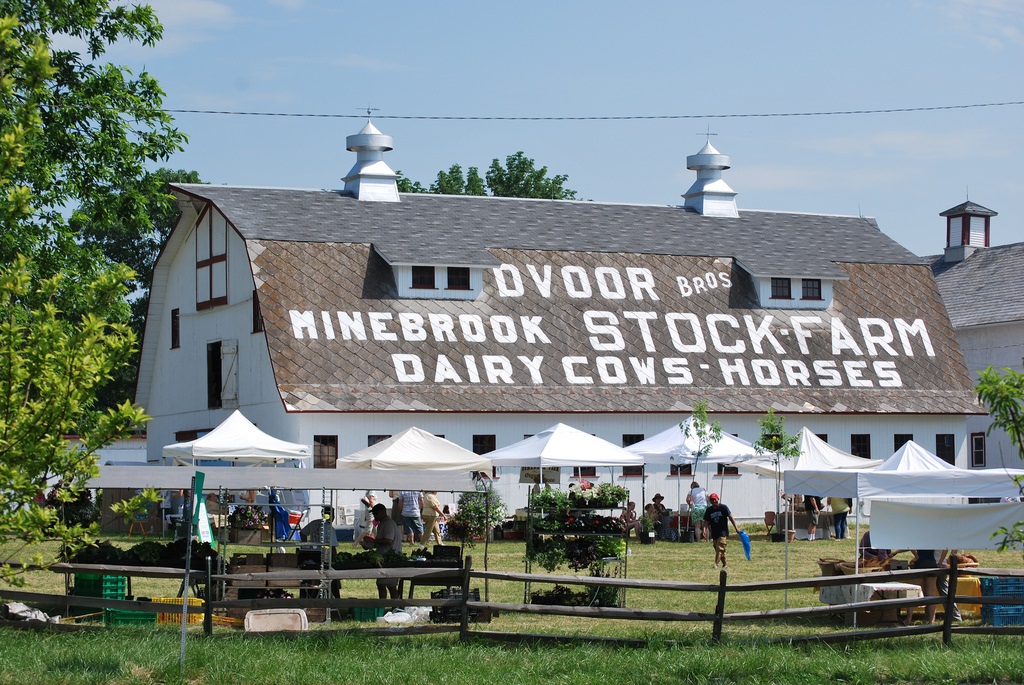
The Hunterdon Land Trust Farmers’ Market is located at the Dvoor Farm, 111 Mine St. off the route 12 circle in Raritan Township.
Enjoy a stroll around the Dvoor Farm and learn about its history and the Hunterdon Land Trust’s present and future plans for the property at the Sunday, Oct. 19 Farmers’ Market.
The Land Trust will also unveil its new free mobile app, an interactive map that anyone can download to explore all the organization’s preserves and share information about Hunterdon County’s best and most beautiful places. Viewers can add information about hiking or biking trails, wildlife, parking areas and local eateries, and share that information with their Facebook friends.
The tour begins at 10:30 a.m. in the parking lot behind the Dvoor Farm house. All participants are encouraged to bring their Smartphones or iPads. Can’t make it? Anyone can access the interactive map by visiting www.hltcommunitymap.com.
During the walk, Land Steward Tom Thorsen will discuss the Dvoor Farm trails, current plans for the land and demonstrate how to properly remove pesky invasive plants. An optional volunteer stewardship event will be held on-site following the walking tour.
Walkers will also explore the property’s history with Director of Outreach and local historian Dave Harding. He’ll point out the location of Chief Tuccamirgan’s wigwam and original settler Johann Philip Cases’s log cabin, according to the most recent evidence, and offer an overview of the historic property’s past roles as a farm, tannery and mining operation.
The tour will also spotlight the efforts to preserve this property in the 1990s largely through New Jersey Green Acres funding. New Jersey voters will decide the fate of a ballot question on Tuesday, Nov. 4 that ensures stable funding for Green Acres open space, farmland and historic preservation.


